The Design
Makers
Transform Your Projects: Effortless
Precision with 3D Scanning.
Simplify Your Projects with Advanced 3D Scanning Technology
Our mission and vision converge to offer premier 3D scanning and modeling, fostering informed decisions, digital transformation, and sustainable, innovative spatial data solutions.
Empowering Stakeholders with Advanced 3D Solutions
We are committed to providing top-tier 3D scanning and modeling services, aimed at empowering our clients with the tools for informed decision-making and process optimization. Our vision is to lead in 3D laser scanning and modeling, fostering digital transformation, advancing the use of spatial data, and integrating Digital Twins and sustainable practices in all we do. These core values define our dedication to excellence and innovation in the realm of 3D technology.
ELEVATE YOUR BUSINESS WITH PRECISION 3D INSIGHTS
At Edge 3D Technologies, our expertise spans across diverse sectors like Construction, Marine, Oil and Gas, Heritage, and VFX, providing state-of-the-art 3D scanning and modeling solutions. From our main base in Bangalore, India, to our international branch in Dubai and regional office in Vizag, we cater to clients in Europe, the MENA regions, and beyond. Our mission is to harness the power of 3D technology to foster innovation, operational efficiency, and smarter decision-making for businesses globally. By partnering with us, you unlock the potential to enhance your project's accuracy, reduce timeframes, and achieve unparalleled insights, thereby boosting your venture's overall value and efficiency.
Edge 3D
About
Us
Edge 3D Technologies is a leading 3D laser scanning and modeling company based in Bangalore, India. With expertise in industries including Construction, Marine, Oil and Gas, Heritage, Industrial, VFX etc we offer cutting-edge solutions to clients. Alongside our recently expanded international office in Dubai, serving clients in Europe and the MENA regions, we also have a branch office in Vizag, India. This strategic move enhances our presence and enables us to extend high-quality 3D scanning and modeling services to clients in the coastal region and beyond. Our passion is using 3D technology to drive innovation, efficiency, and informed decision-making for businesses worldwide.
01
sq ft scanned
200M
02
ships scanned
400
03
industrial units scanned
660
04
Countries Worldwide
20
Our Services
We provide the best digital solutions.
3D Laser Scanning & 3D Modeling
We utilize FARO scanners, capturing 1 million points per second. Employing BIM and Intelligent modeling, we transform point cloud data into precise 3D models or 2D drawings. Our expertise extends to AutoCAD, ensuring seamless integration for enhanced design and planning workflows.
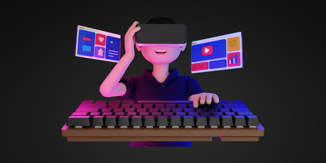
Virtual Walkthrough
Experience spaces remotely through Matterport's realistic 3D VR capture and 360 panoramic walkthroughs. Ideal for real estate, tourism, and cultural heritage industries, Matterport offers an engaging and visually stunning way to explore. Interior designers benefit from enhanced designs and effective marketing tools. .
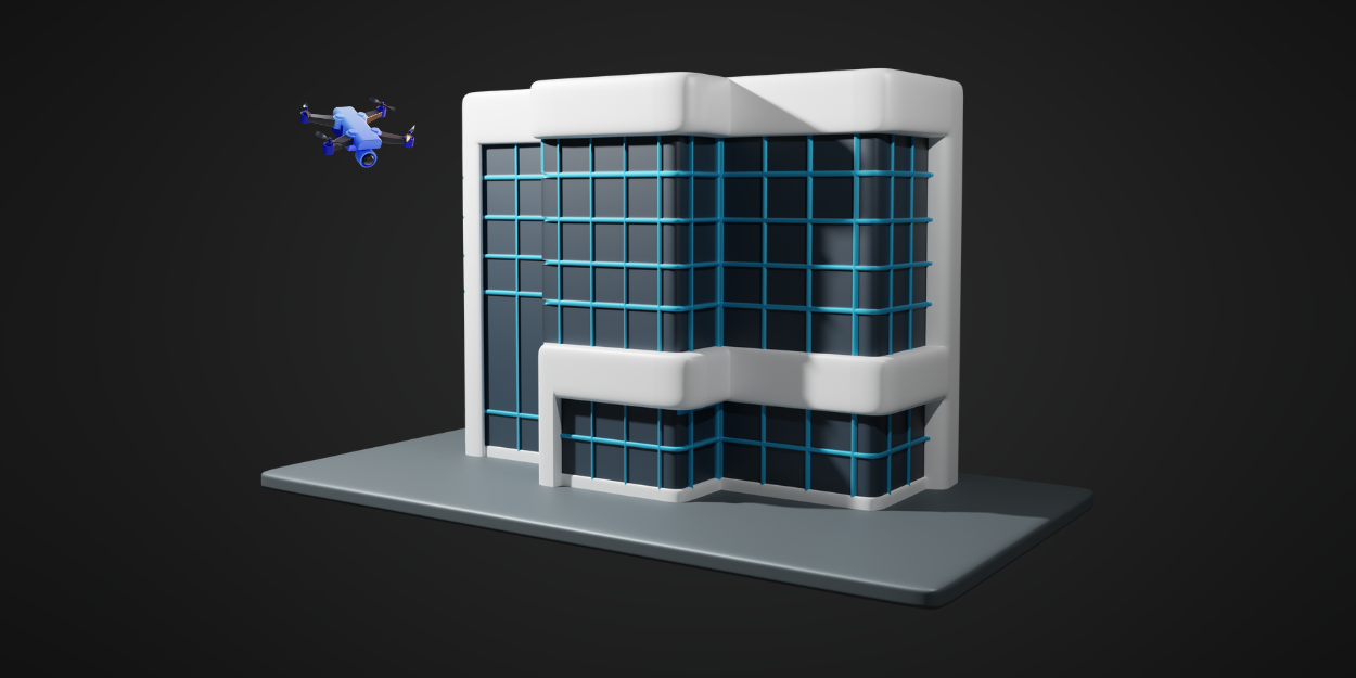
Drone Surveying
Capture high-resolution aerial imagery and topographic data using advanced UAVs and sensors. Survey large areas and inaccessible terrain with precision, suitable for land mapping, construction site monitoring, and infrastructure inspection. Note - Drone services are currently available only in India

Construction Verification
Employing advanced technology, our Construction Verification service proactively identifies construction errors. By comparing laser scans with 3D models, we detect mistakes before they escalate, ensuring a cost-effective approach. Expertise in detailed variance analysis provides a comprehensive understanding of deviations. Committed to quality assessments, we significantly reduce rework, delivering accurate as-builts for seamless project execution.
BIM Modeling
At the forefront of innovation, our BIM Modeling service transforms design and construction. Using advanced Building Information Modeling, we create detailed 3D models as collaborative hubs. Our expertise covers architectural, structural, and MEP components, ensuring a holistic view. Dynamic BIM models facilitate enhanced coordination, reducing errors throughout the project lifecycle.

Land Survey
Leveraging state-of-the-art equipment, our Land Survey service provides accurate data for land development. Using GPS and Total Stations, we capture precise measurements for topography and boundaries. Specializing in data vital for design optimization, drainage planning, and legal compliance, our Land Survey service supports informed decision-making in every project phase.